BIG and BRIN Discuss Opportunities for Collaboration Between Piksel and GEOMIMO

The Directorate of Thematic Mapping, Geospatial Information Agency (BIG) attended a meeting with the Geoinformatics Research Center, National Research and Innovation Agency (BRIN) on Wednesday, August 26, 2026. The meeting discussed opportunities for collaboration in the use of two satellite imagery-based applications — Piksel from BIG and GEOMIMO from BRIN — with the aim of strengthening the use of geospatial technology to support national development policy and research.
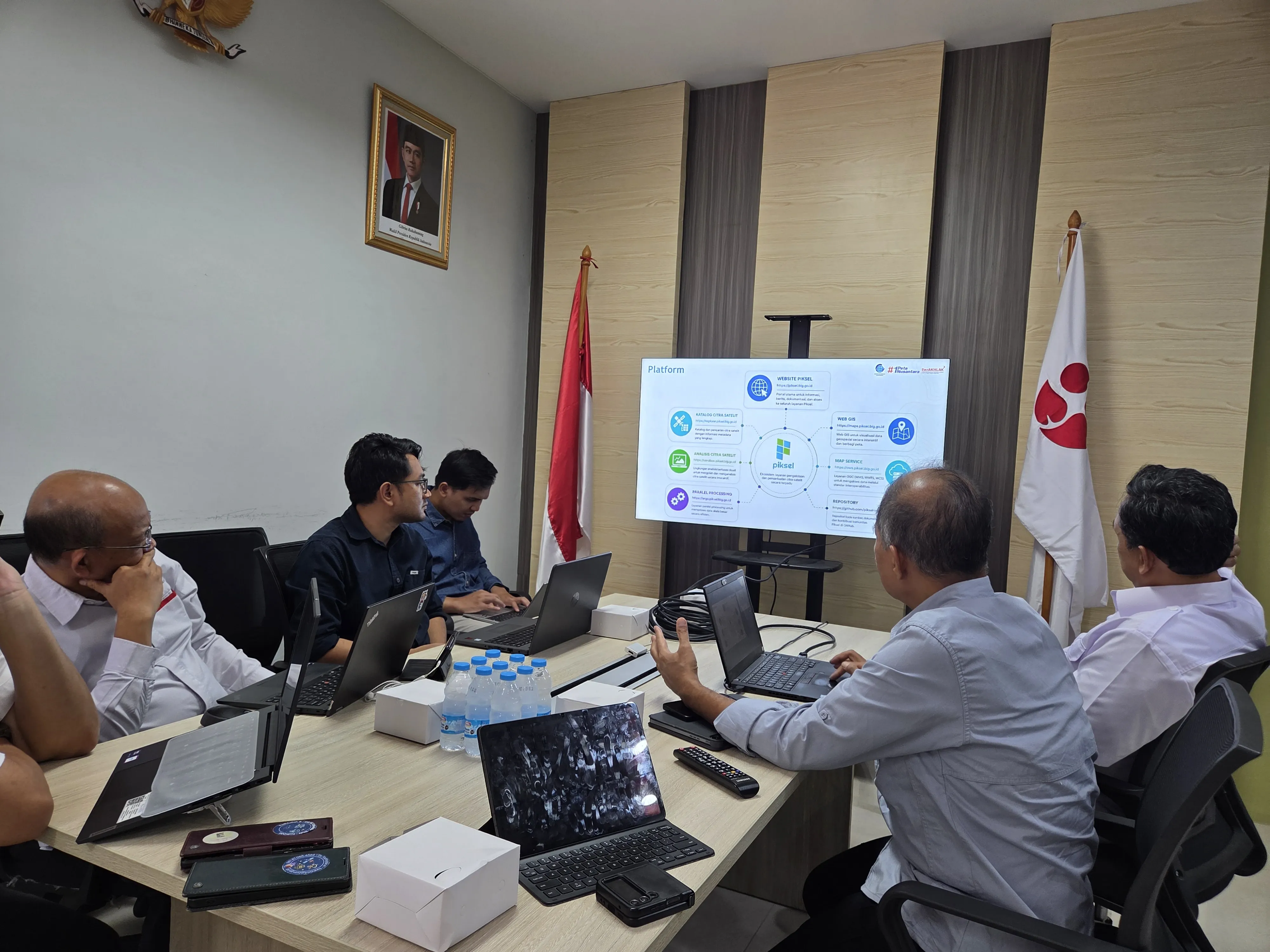
In the discussion, both parties emphasized how mapping and monitoring applications can complement each other. Piksel serves as a thematic geospatial mapping application, while GEOMIMO focuses on monitoring. The Head of the Geoinformatics Research Center, Prof. M. Rokhis Khomarudin, affirmed that the two are complementary:
"Piksel focuses more on thematic mapping, while GEOMIMO is used for monitoring. The two complement each other in the use of satellite imagery."
Piksel has produced a range of products and analysis results, including the creation of cloud-free imagery covering all of Indonesia through GeoMAD from 2017 to 2025, detection of flood-affected areas using radar imagery in Sumatra, and identification of rice-field conversion. These results demonstrate Piksel's potential to support thematic geospatial analysis at a national scale.
Meanwhile, GEOMIMO has been used to monitor rice-planting phases and various other monitoring activities. The Director of Thematic Mapping, Dr. Gatot Pramono, said that this collaboration will open opportunities for GEOMIMO to use Piksel's services, so that the two applications can support each other and expand the reach of satellite data use.
The meeting closed with hopes that the BIG–BRIN collaboration will further strengthen the use of geospatial technology in Indonesia. The synergy between Piksel and GEOMIMO is expected to deliver tangible benefits for relevant institutions and the wider public, particularly in supporting decision-making based on geospatial data.
Unlock Earth Data with Piksel.