Piksel Launch: A National Platform for Integrated Satellite Imagery Processing

The Geospatial Information Agency (BIG) officially launched Piksel at BIG's Bhumandala Hall on August 18, 2026. Representatives from government ministries and agencies, universities, and BIG officials and staff attended the launch. Piksel is a national platform for integrated remote sensing data processing and analysis, designed to meet the need for large-scale satellite imagery use. It supports researchers, analysts, and other stakeholders in accessing, processing, and exploring remote sensing data.
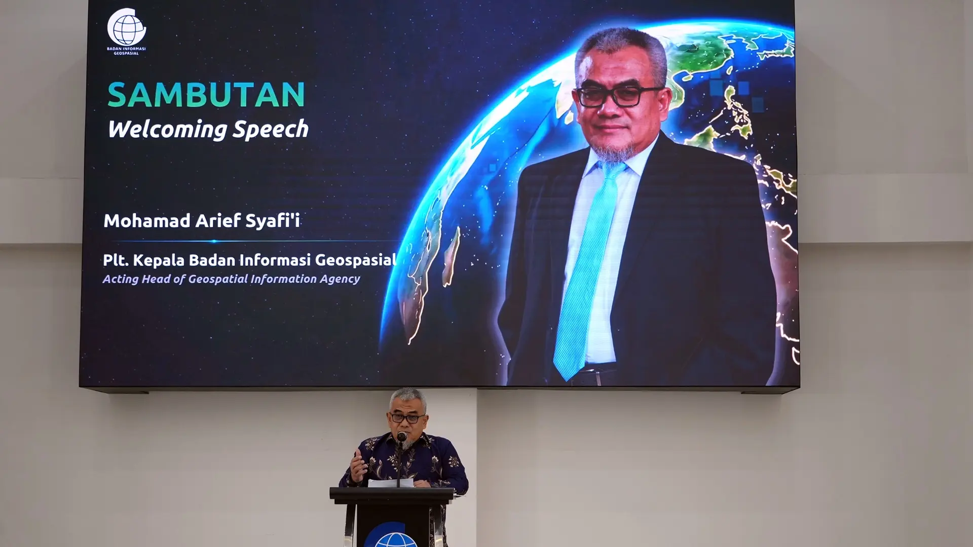
In his remarks, BIG's Acting Head, Mohamad Arief Syafii, said that the challenge of using satellite imagery is no longer simply its availability. The next challenge is turning large volumes of data into information that can be used quickly and efficiently. Platforms such as Piksel are one response to that challenge, supported by large-scale computing and data processing technologies.
Piksel was developed through a collaboration between BIG and Geoscience Australia as part of efforts to strengthen Indonesia–Australia cooperation in geoscience and Earth observation. The platform integrates data access, exploration, processing, and analysis to produce geospatial information from satellite data. In his remarks, Ryan Cunningham, First Secretary at the Australian Embassy, emphasized the importance of strengthening Indonesia–Australia cooperation to enable faster, more efficient, and integrated use of Earth observation data.
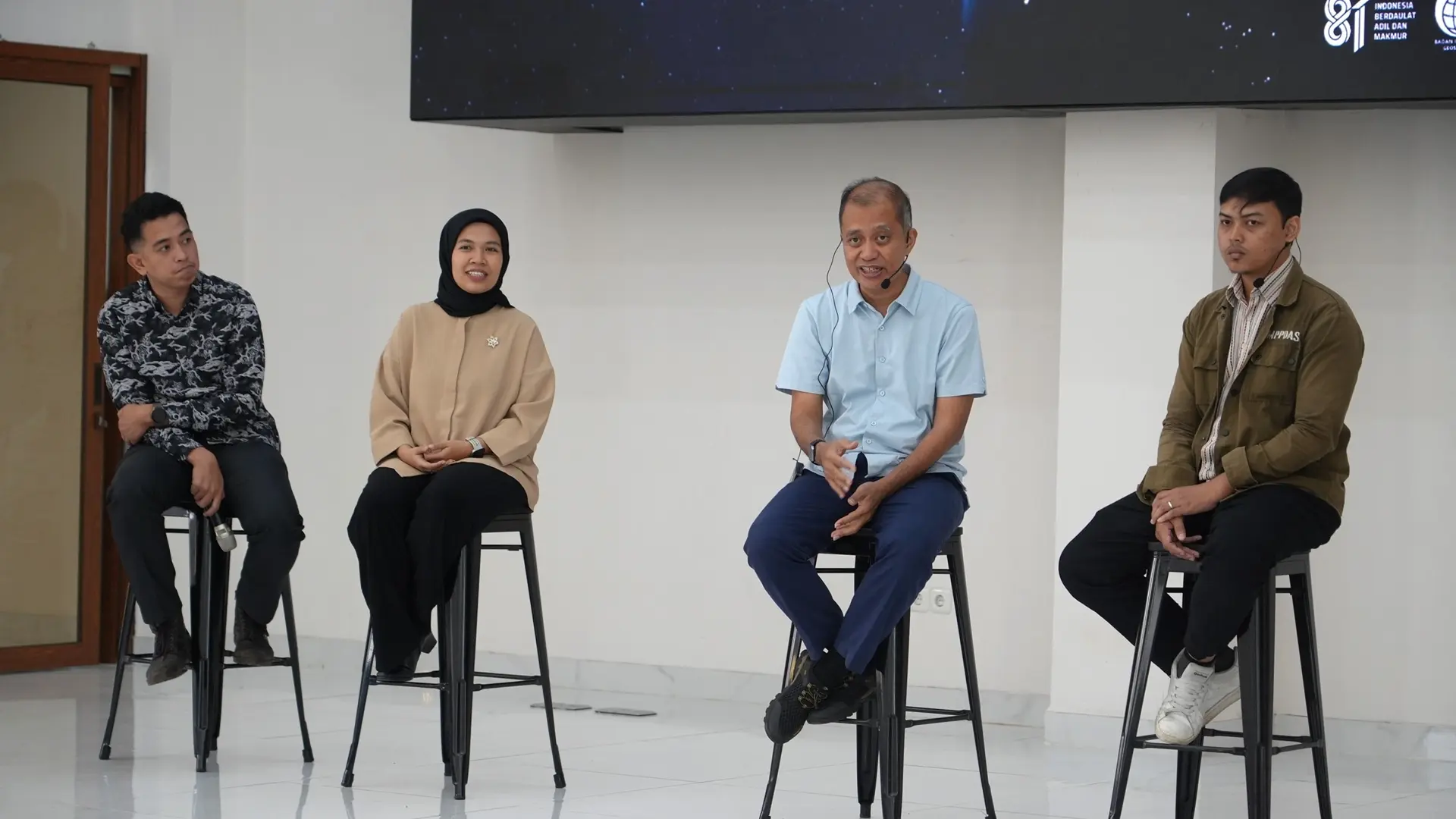
Piksel supports the use of remote sensing data by turning imagery into information that helps people understand changes on Earth's surface. It can support environmental monitoring, coastal and marine monitoring, natural resource monitoring, mapping, and spatial analysis.
The Piksel launch marks an initial step in developing platforms for remote sensing data processing. Going forward, Piksel is expected to support research, innovation, and data-driven decision-making.
Unlock Earth Data with Piksel.