·2 min read
Piksel Launch: A National Platform for Integrated Satellite Imagery Processing
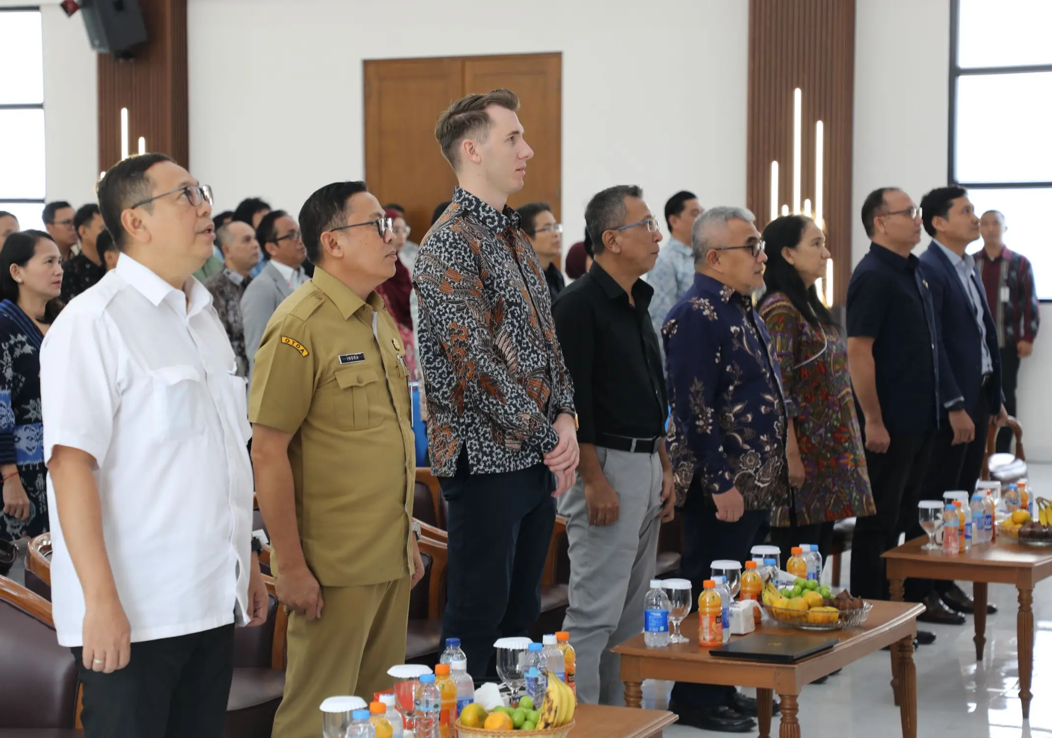
The Geospatial Information Agency (BIG) officially launched Piksel at BIG's Bhumandala Hall on August 18, 2026. Representatives from government ministries and agencies, universities, and BIG officials and staff attended the launch. Piksel is a national platform for integrated remote sensing data processing and analysis, designed to meet the need for large-scale satellite imagery use. It supports researchers, analysts, and other stakeholders in accessing, processing, and exploring remote sensing data.