·2 min read

BIG and BRIN Discuss Opportunities for Collaboration Between Piksel and GEOMIMO

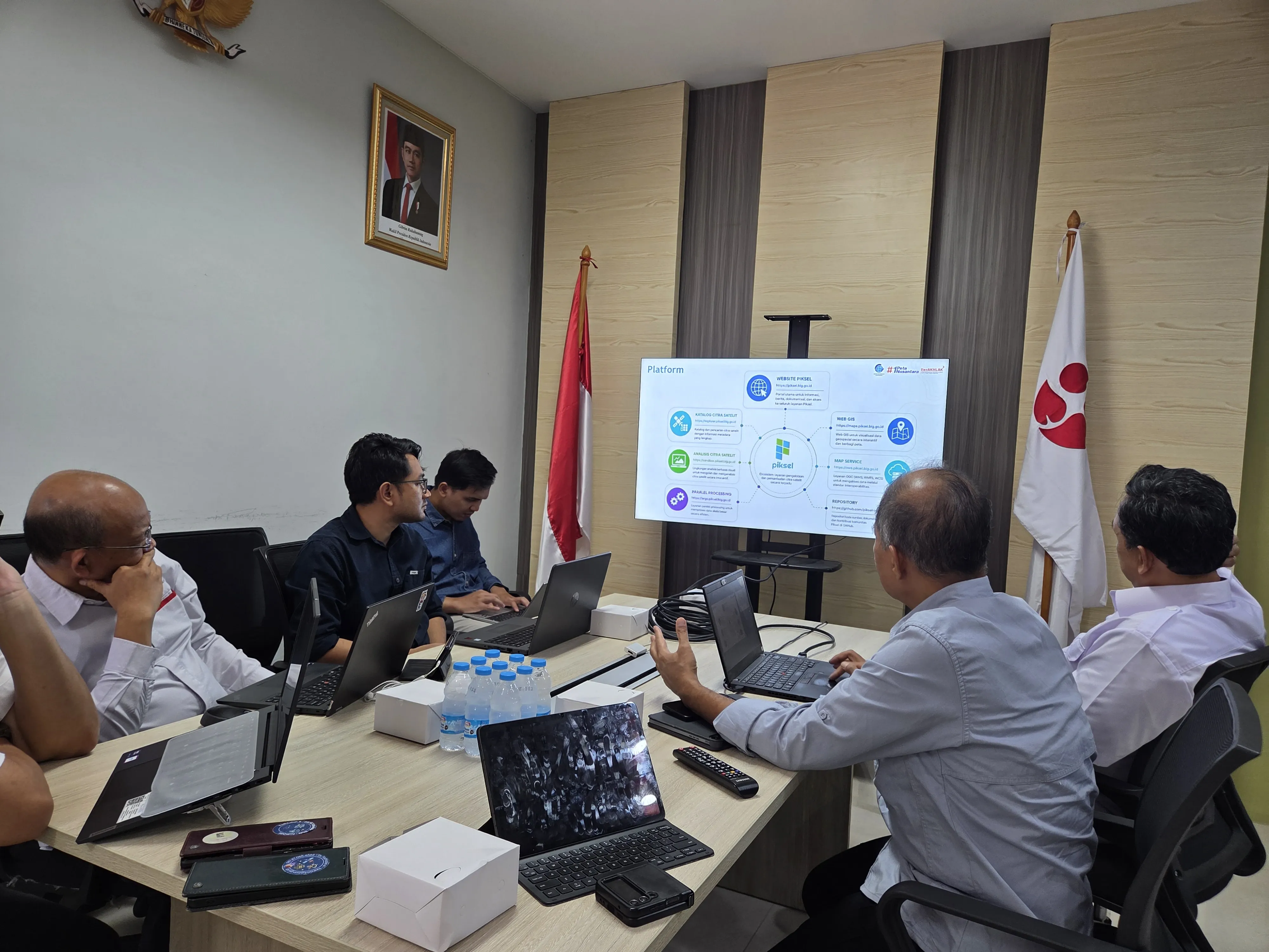
The Directorate of Thematic Mapping, Geospatial Information Agency (BIG) attended a meeting with the Geoinformatics Research Center, National Research and Innovation Agency (BRIN) on Wednesday, August 26, 2026. The meeting discussed opportunities for collaboration in the use of two satellite imagery-based applications — Piksel from BIG and GEOMIMO from BRIN — with the aim of strengthening the use of geospatial technology to support national development policy and research.
·3 min read

From Hotspots to Burn Scars: Reading the Changes at Bromo

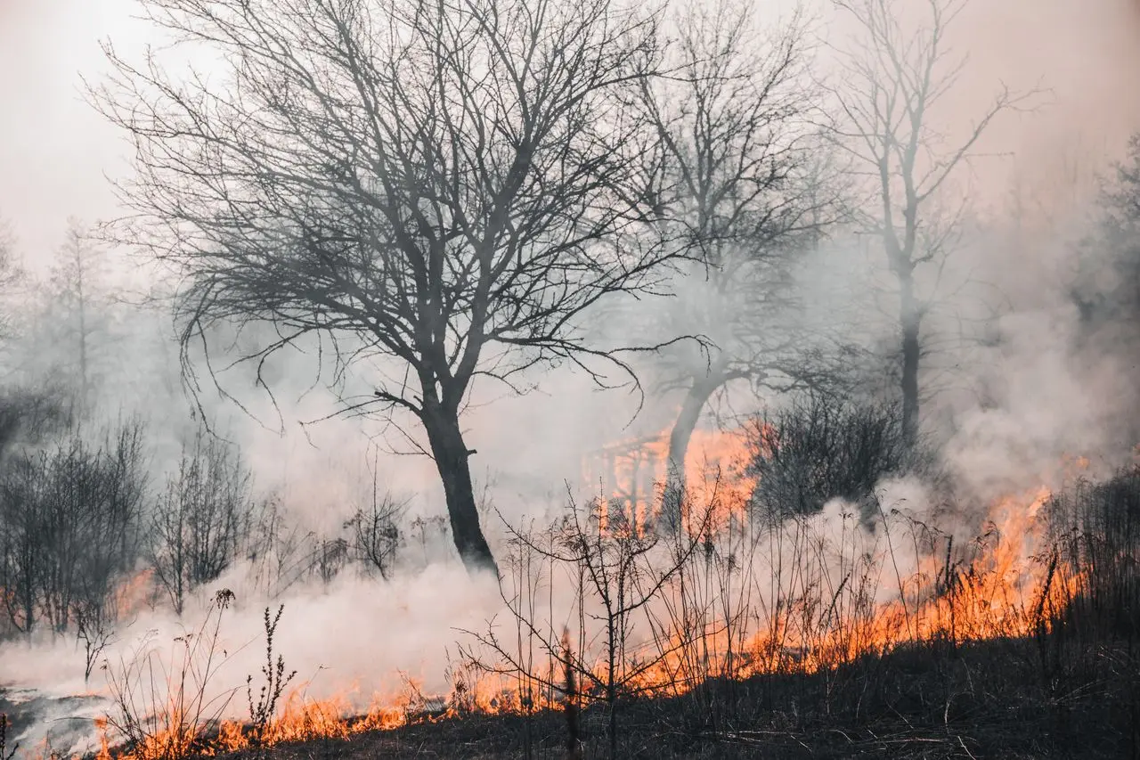
The fire that swept through the Bromo area left a mark readable from space. Using remote sensing data, changes to the area can be observed not only by comparing conditions before and after the event, but also by tracking the pattern of thermal activity over time. Through Piksel, Sentinel-2 imagery and hotspot data from VIIRS (Visible Infrared Imaging Radiometer Suite) are combined to build a picture of where the fire occurred, when activity was detected, and how the landscape changed.

·2 min read

Reading the Barito River's Retreat in the Dry Season

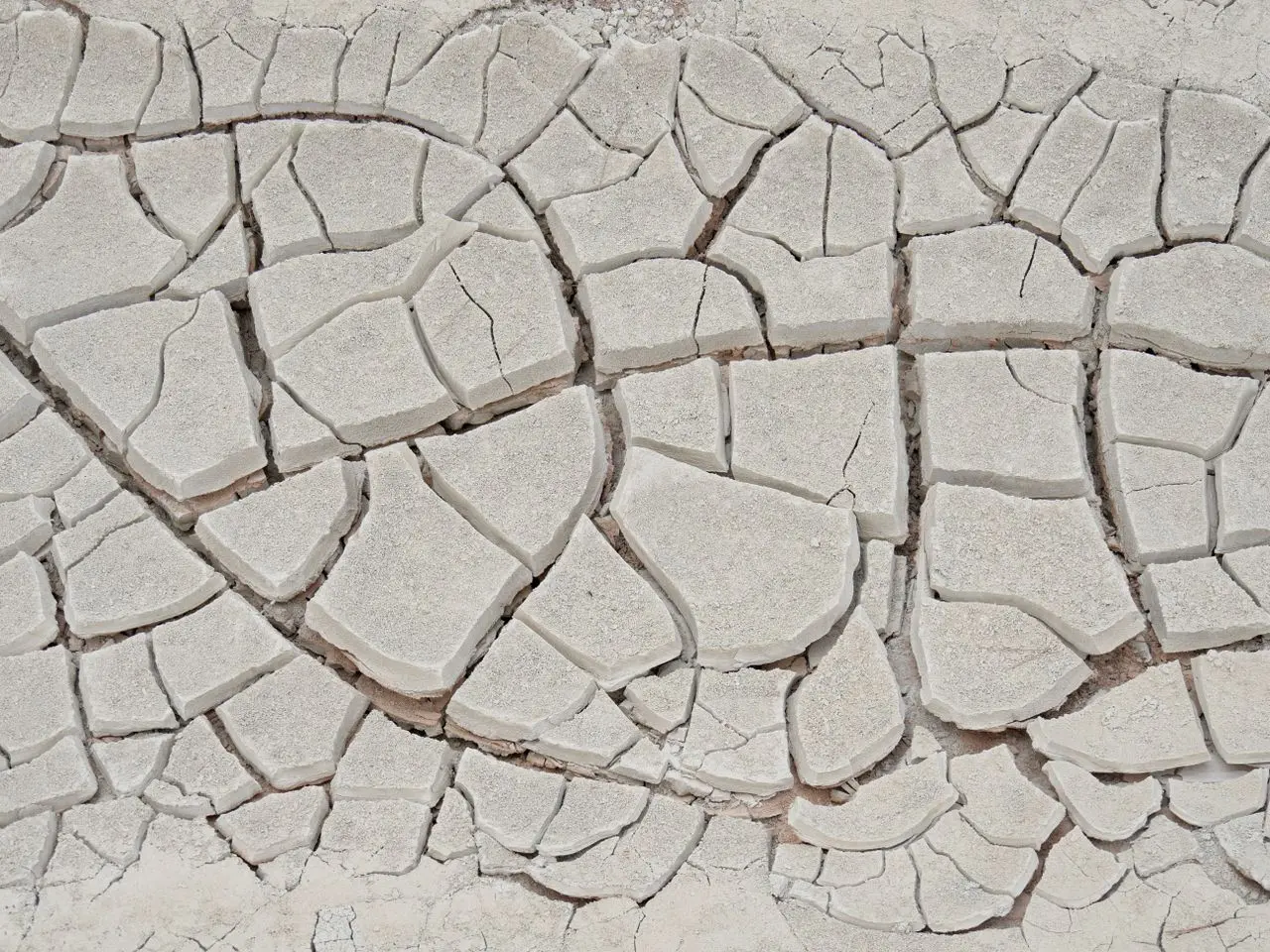
The Barito River near the Kalahien Bridge, South Barito Regency, Central Kalimantan, has shown clear changes throughout the 2026 dry season. Falling water levels have exposed the sandy riverbed and sandbars beneath. The shift became most visible in mid-August, when the water surface appeared far narrower than it had just months before.

·2 min read

Piksel Launch: A National Platform for Integrated Satellite Imagery Processing

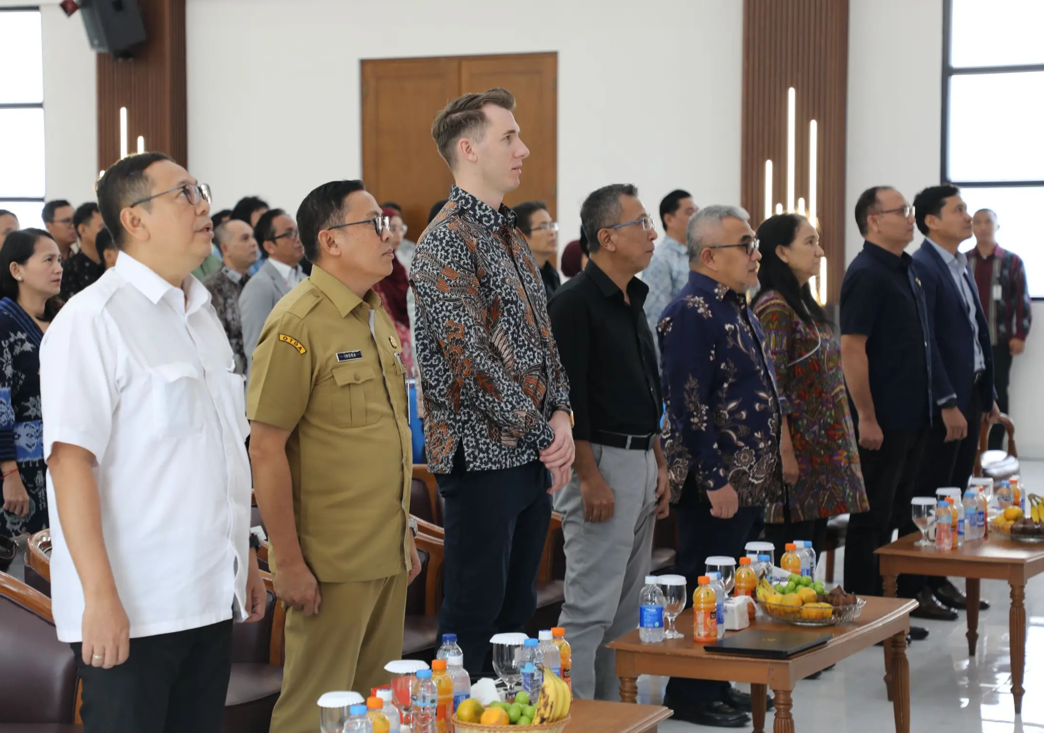
The Geospatial Information Agency (BIG) officially launched Piksel at BIG's Bhumandala Hall on August 18, 2026. Representatives from government ministries and agencies, universities, and BIG officials and staff attended the launch. Piksel is a national platform for integrated remote sensing data processing and analysis, designed to meet the need for large-scale satellite imagery use. It supports researchers, analysts, and other stakeholders in accessing, processing, and exploring remote sensing data.

·3 min read

Working with AI Agents to Advance Piksel

Developing Piksel covers a lot of ground, from infrastructure and applications to processing satellite imagery. In recent months, with a small team and limited capacity, the Piksel team has started leaning on AI agents to speed up development that was previously done by hand. Unlike an ordinary chatbot, an AI agent can carry out a sequence of tasks using the tools available to it, so it can work through multi-step jobs more effectively.

·2 min read

Turning Thousands of Satellite Images into a Cloud-Free Map of Indonesia

Much of Indonesia sits under heavy cloud cover, which makes analysis from satellite imagery difficult. GeoMAD was built to get around that. It is a composite image derived from the median pixel value of satellite scenes over a set period, an approach that cuts through the cloud and yields a more consistent picture of the land surface. That makes it a valuable source for multi-temporal analysis, from tracking land-cover change to studying regional development and the environment.

·2 min read

What Satellites Reveal About Indonesia's Changing Coast

Indonesia's coastline is among the most dynamic parts of the country. Erosion, sedimentation, coastal development, and tectonic activity all reshape it, and those shifts reach the communities that live along the shore. Piksel offers coastline-change analysis that lets users trace this movement over time, measured against decades of satellite data.

·2 min read

Training the Next Generation of Geospatial Talent Through BIG's Internship Program

To strengthen Indonesia's geospatial ecosystem, BIG keeps building partnerships with universities working on geospatial technology. One of those partnerships is an internship, and this round brought in three geodetic engineering students from Universitas Diponegoro (UNDIP). Over two months, starting 29 June 2026, they worked directly with satellite data and the latest geospatial tools.

·4 min read

Piksel Membantu Monitoring Longsoran di Aceh Tengah

Longsoran yang terjadi di Kampung Pondok Balik, Kecamatan Ketol, Kabupaten Aceh Tengah, merupakan fenomena gerakan tanah yang terus berkembang dan menjadi perhatian karena dampaknya terhadap lingkungan serta infrastruktur di sekitarnya. Perubahan bentang lahan yang berlangsung secara progresif telah membentuk area longsoran yang semakin luas dari waktu ke waktu. Untuk memantau perkembangan tersebut, dilakukan analisis menggunakan citra satelit Sentinel-2 yang diakses melalui platform Piksel yang dikembangkan oleh Direktorat Pemetaan Tematik, Badan Informasi Geospasial.